Spatial data collection, GIS database development, and remote sensing analysis
for
environmental assessments, regulatory submissions, and infrastructure planning.
Environmental projects generate and depend on location data site boundaries, land use, vegetation cover, proximity to sensitive receptors, flood extents, infrastructure layouts. Without
accurate spatial data, impact assessments are incomplete and regulators push back.
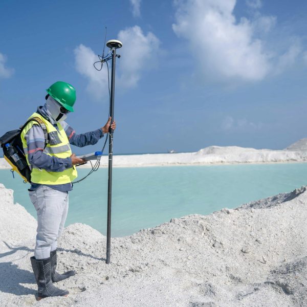
eGreen's GIS team combines ground-level surveys, aerial data, and satellite imagery to build
datasets that are accurate, standards compliant, and usable. We work with ESRI ArcGIS and
cloud based Web GIS platforms, and we can deliver both traditional GIS outputs and
browser-accessible spatial dashboards for project teams that need real-time access.
GIS / Spatial Data
Client: Arco Interiors LLC
Location: Abu Dhabi, UAE
Role: Main Consultant
GIS database for an interior segment at Abu Dhabi International Airport. Prepared to ADAC GIS Standards.
GIS / Spatial Data
Client: Abu Dhabi Airport Company (ADAC)
Location: Abu Dhabi, UAE
Role: Subconsultant
Complete GIS database preparation for multiple airport facility buildings at ADAC. All deliverables compliant with ADAC GIS Standards.
+91 94895 88922
Unique Arcade, No.146, Gandhi Road, West Tambaram, Chennai 600045
info@egreen.org.in
eGreen Compliance Consultants Pvt. Ltd. is an India-based environmental consultancy delivering ESIA, ISO 14064 GHG auditing and verification, and ESG advisory (CBAM, BRSR Core). We also offer sector-specific training and develop novel in-house carbon capture technology.
ISO 9001:2015 · ISO 14001:2015 · ISO 45001:2018 · ISO 14064-1,2&3 | © 2026 eGreen Compliance Consultants